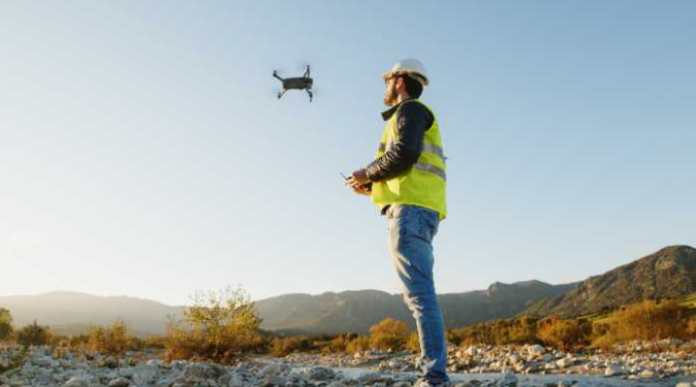
In the ever-evolving landscape of construction, precision and efficiency are more crucial than ever. Whether it’s a towering commercial building or a complex infrastructure project, successful planning is the foundation of timely and cost-effective delivery. One of the most groundbreaking advancements in this area is drone surveying, a technology that is transforming how construction sites are mapped, assessed, and managed from the ground up.
Traditional Surveying vs. Drone Technology
Conventional land surveying techniques, while reliable, are often time-consuming, labour-intensive, and limited by terrain accessibility. Engineers and surveyors working with traditional methods may spend days or even weeks collecting data from large, rugged, or hazardous sites. These challenges not only slow down the planning process but can also introduce a margin of human error, especially in areas that are hard to reach or observe clearly.
Drone technology eliminates many of these limitations by offering a bird’s-eye view of the entire site. High-resolution aerial imagery and data can be captured in a fraction of the time, reducing the need for physical site visits and allowing teams to make informed decisions with greater confidence and speed.
Enhancing Accuracy and Detail
One of the key benefits of drone surveying lies in its ability to deliver highly accurate data. Using advanced GPS and imaging technologies, drones can map terrain with centimetre-level precision. This is particularly useful during the pre-construction phase, where accurate measurements are essential for design feasibility, earthwork calculations, and infrastructure planning.
The data collected can be transformed into 3D models, digital elevation maps, and orthomosaic images, providing a rich visual and analytical base for engineers, architects, and project managers. Compared to traditional blueprints or sketches, these outputs offer far more detail and context, allowing for more effective design alignment and site optimisation.
Improving Safety and Efficiency
Construction sites are inherently risky environments, with uneven surfaces, machinery, and sometimes hazardous materials. One of the most important advantages of drones is their ability to survey large or dangerous areas without putting human lives at risk. Workers no longer need to climb to unsafe heights or navigate unstable terrain just to collect topographic data.
By using drones, construction teams can monitor project progress, detect potential issues early, and ensure compliance with safety standards—all without disrupting on-site operations. This not only enhances worker safety but also streamlines workflows, contributing to faster project turnaround times.
Real-Time Monitoring and Project Management
With the integration of real-time data capabilities, drones offer another transformative edge: the ability to track changes as they happen. This is invaluable for site managers who need to monitor progress, verify completed work, or adjust schedules in response to unexpected challenges.
Live feeds and time-lapse visuals from drones help maintain transparency and coordination across different teams. From stakeholders to contractors, everyone can access up-to-date site information remotely, leading to better communication and quicker decision-making. As a result, costly rework and delays can often be avoided.
Supporting Sustainable Construction Practices
Sustainability is becoming a major focus in construction, and drones are playing a role here too. By improving planning precision and reducing the need for multiple site visits, drone surveys can help lower the overall environmental footprint of a project. Fewer on-site vehicles mean reduced emissions, while optimised planning ensures minimal disruption to natural landscapes and ecosystems.
Additionally, topographic drone surveys support better stormwater management, erosion control, and grading plans, all of which contribute to more sustainable and environmentally conscious construction methods.
Conclusion: Elevate Site Planning with High Exposure
As construction demands grow in complexity, the need for innovative, data-driven solutions becomes more apparent. Drone surveying offers a clear path forward, redefining how sites are analysed, monitored, and optimised. From improving safety and accuracy to enabling smarter project decisions, drones are an essential asset in modern construction planning. To harness the full potential of this transformative technology, partnering with experts who specialise in aerial data solutions is key. High Exposure provides industry-leading drone services that help construction professionals gain a competitive edge through enhanced precision, efficiency, and insight.

